ماندالی
ماندالی (به لاتین: Mandalay) یک شهر در میانمار است که در ناحیه ماندلی واقع شدهاست.[5]
Mandalay မန္တလေး | |
|---|---|
 | |
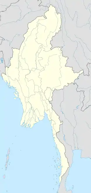 Mandalay Location of Mandalay, Burma | |
| مختصات: ۲۱°۵۸′۳۰″ شمالی ۹۶°۵′۰″ شرقی | |
| کشور | میانمار |
| ناحیه | ناحیه ماندلی |
| بخش | بخش ماندلی |
| مدیریت | |
| • شهردار | Aung Maung[1] |
| مساحت | |
| • شهر | ۱۶۳٫۸۴ کیلومتر مربع (۶۳ مایل مربع) |
| بلندی | ۲۲ متر (۷۰ پا) |
| جمعیت (2014 census)[3] | |
| • شهر | ۹۵۲٬۵۷۰ |
| • کلانشهری | ۱٬۰۲۲٬۴۸۷ |
| • Ethnic groups | Bamar، Burmese Indians، Burmese Chinese، Shan |
| • مذهبها | بوداگرایی، مسیحیت، هندوئیسم، اسلام |
| منطقه زمانی | یوتیسی +۶:۳۰ (MST) |
| پیششماره(های) تلفن | 2 (mobile: 20,69, 90)[4] |
خصوصیات
ماندالی ۱۶۳٫۸۴ کیلومترمربع مساحت و ۱٬۲۲۵٬۱۳۳ نفر جمعیت دارد و ۲۲ متر بالاتر از سطح دریا واقع شدهاست.
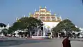
نگارخانه


جستارهای وابسته
- فهرست شهرهای میانمار
منابع
- Thein Sein (28 February 2012). "Mandalay Mayor appointed Republic of the Union of Myanmar". New Light of Myanmar. Government of Myanmar. Archived from the original on 13 November 2012. Retrieved 28 February 2012.
- "Water Purification Plant No. 8 in Aungmyethazan Township 60% Coomplete". Bi-Weekly Eleven (به Burmese). Eleven Media Group. 28 April 2011.
- "United Nations World Urbanization Prospects, 2007 revision". The United Nations Population Division. Archived from the original on 18 June 2009. Retrieved 24 January 2009.
- "Myanmar Area Codes". Archived from the original on 1 December 2009. Retrieved 24 October 2014.
- مشارکت کنندگان ویکیپدیای انگلیسی. «Mandalay».
This article is issued from Wikipedia. The text is licensed under Creative Commons - Attribution - Sharealike. Additional terms may apply for the media files.
